Explore interactive previews of all our map product types. Click any card to open the live map viewer — real data, real locations.
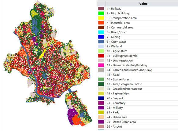
Clutter Class
Land Use Map — Urban, vegetation, water & industrial classification. 26 standard + custom classes (Code C). 1 m resolution, Atoll-native .grc/.grd.
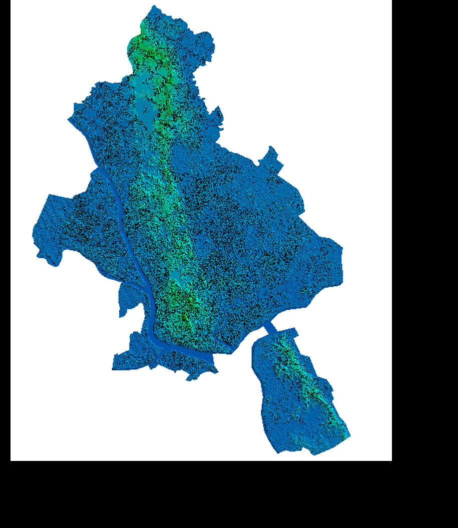
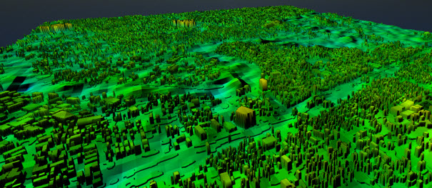
Height Map
Terrain & Building Height — Digital Terrain Model with integrated building elevation data.
Population Map
Density Population Distribution — high-resolution population density raster for demand forecasting.
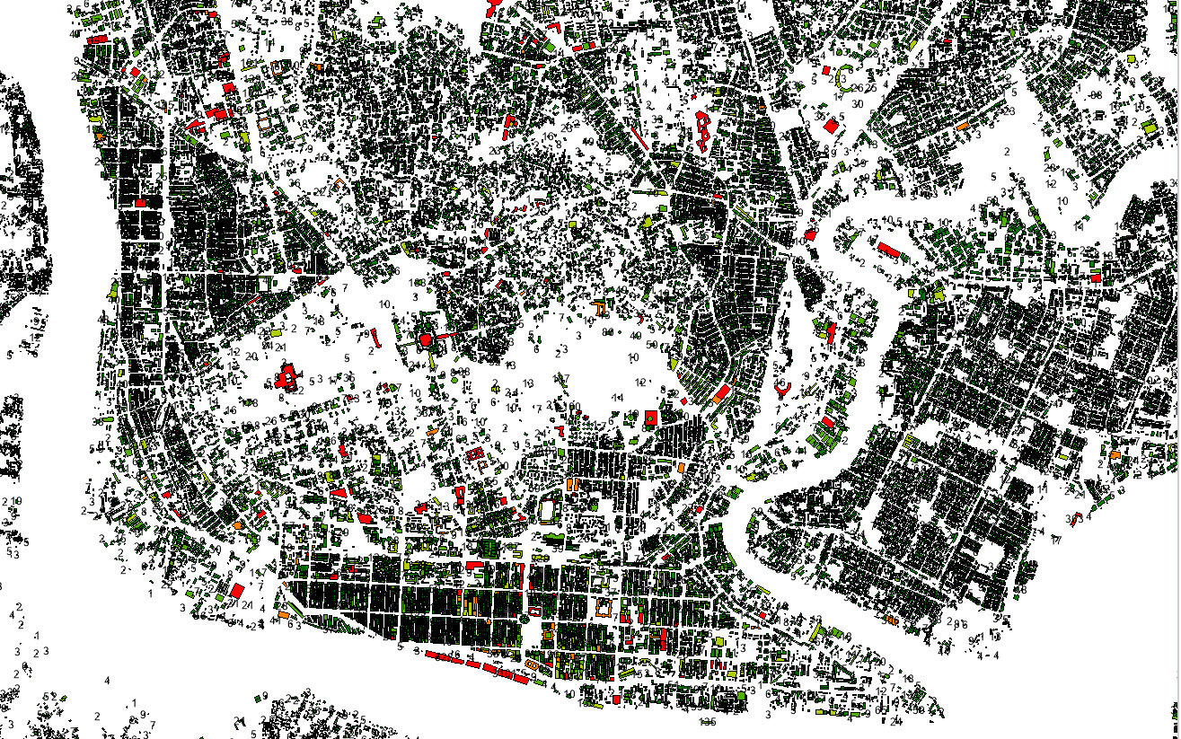
Building Height
Building Height Value — per-structure height values extracted from high-resolution satellite imagery.
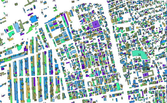
Building Polygon
Buildings Distribution — footprint outlines from AI satellite extraction. More complete than OSM.
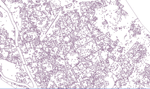
Population Polygon
Population Distribution — administrative boundary-based polygon map from country to city level.
→ Note: These samples are interactive map viewers showing real data from our global datasets. Click any card to open the live preview in a new tab. Contact us to request a sample for your specific region — free of charge.
Explore our live sample data directly below — pan, zoom, and switch layers in real time.
Each map type uses a different colour scheme and data layer. Here's a quick guide.
Each colour represents a land cover type: green = vegetation, grey = urban, blue = water, yellow = open ground. These directly influence RF propagation loss values in Atoll and Infovista Planet.
Dark to light shading indicates elevation change. Brighter = higher elevation. Building peaks appear as sharp bright spots within the terrain gradient — visible at 1m resolution.
Warm colours (red/orange) = high density. Cool colours (blue/green) = low density. Used to identify where network capacity needs are highest for planning prioritisation.
Download real GRD / GRC and Shapefile data from Google Drive — test in your RF planning software before ordering.
Atoll-native .grc/.grd — 26 standard + custom classes (Code C). Load directly into Atoll or Infovista Planet, no conversion needed.
📥 Download from DriveCombined land-use + surface height per pixel. See how it improves propagation accuracy vs standard clutter.
📥 Download from DriveBuilding height contour Shapefile with per-structure height values. More complete than OSM data.
📥 Download from Drive