Our Products
Comprehensive Digital Map Products
High-precision geospatial datasets tailored for RF planning, urban analysis, and network optimization worldwide.
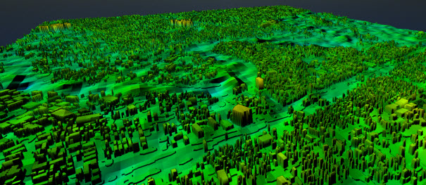
Telecom-grade digital maps for 5G NR, LTE, FWA and Microwave planning — 3D city models, clutter, DTM/DSM, population and vector data. 1 m resolution. Atoll-native. SEA regional coverage.
High-precision geospatial datasets tailored for RF planning, urban analysis, and network optimization worldwide.
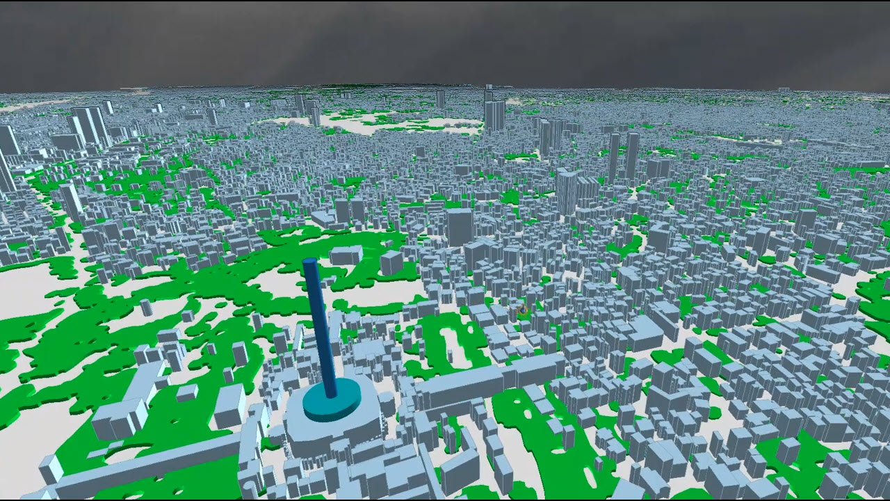
We specialise in high-precision geospatial data for telecommunications, urban planning, and 5G network design. From nationwide terrain datasets to 1 m resolution 3D city models with vegetation — our data is RF-tool ready and delivered in Atoll-native format.
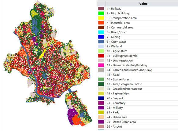
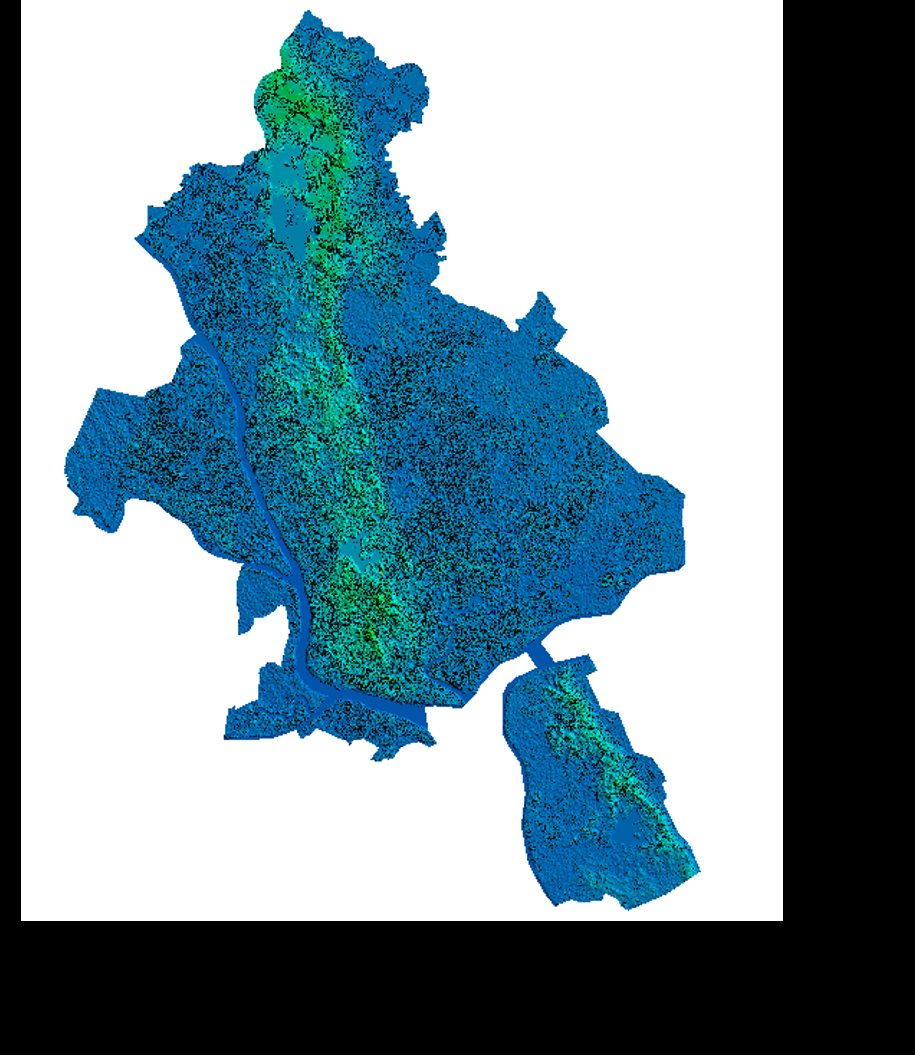
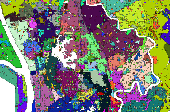
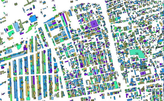
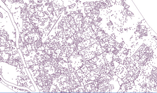
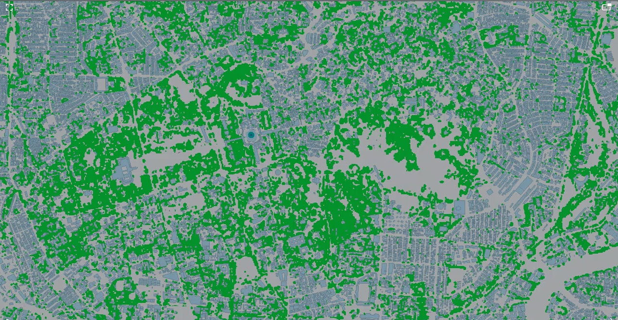
Our Yangon City dataset — 984 km² at 1 m resolution — includes DSM, DTM, 26 + custom class clutter, 3D building vectors, population maps, and orthoimage. Compatible with Atoll, Infovista Planet, HTZ, Asset, U-Net and ECO.
Built by engineers who have lived the problems — not just mapped the data.
Our founding team brings over 20 years in the telecommunications sector — RF planning, network optimisation, drive test correlation, and 5G rollout across Southeast Asia and beyond.
All primary datasets delivered at 1 m cell size — uniform across DSM, DTM, clutter, and population layers. Atoll-native format, zero resampling, maximum planning accuracy.
GIS specialists and RF engineers from Singapore, Indonesia, Vietnam, and Myanmar. We know the terrain, the operators, and the planning challenges — because we work here.
We understand the pain points in real network planning. We are happy to discuss your coverage challenges, model tuning problems, or 5G rollout requirements — not just send you a file.
RF GeoMaps was founded by telecom professionals with over 20 years of hands-on experience in RF planning, network optimisation, and geospatial data production across Southeast Asia and the Middle East. We have worked on the same tools — Atoll, Planet, HTZ, Asset — and faced the same frustrations with inaccurate or incomplete map data.
That experience shapes everything we build. Our datasets are structured the way RF engineers actually need them — correct folder layouts, proper coordinate systems, Atoll-native formats, and clutter classes pre-configured for propagation models. We know what a drive test correlation workflow looks like, and we design our data to fit it.
One of our co-founders is a Myanmar national. Serving Myanmar operators and government agencies is not just a commercial opportunity — it is a commitment we take seriously, with local knowledge, genuine relationships, and long-term support.
Working with partners & associates. We collaborate with a network of regional GIS developers, RF specialists, and system integrators across SEA. If you are an operator, system integrator, or consultant looking to work together — we are open to that conversation.
Not just selling maps — happy to talk. If you have a coverage problem, a propagation model that does not calibrate, or a 5G rollout to plan, reach out. We are glad to have a technical conversation before you decide anything.
From nationwide terrain datasets to ultra-high-res 5G city maps — choose the coverage tier that fits your project.
10–20 m resolution. Clutter, DTM, population and vector layers for country-wide RF planning.
View Pricing →2–5 m resolution. Clutter, DTM, building height and vector data for 4G LTE planning.
View Pricing →1 m resolution. DSM + DTM + Vegetation, 26 + Custom class clutter, 3D buildings and per-building population.
View Pricing →